[]
您当前的选择
资产 资产
您的报价 0

您的选择

清除选择
商品已加入购物车
{"event":"pageview","page_type1":"catalog","page_type2":"image_page","language":"cn","user_logged":"false","user_type":"ecommerce","nl_subscriber":"false"}
{"event":"ecommerce_event","event_name":"view_item","event_category":"browse_catalog","ecommerce":{"items":[{"item_id":"NWI4902208","item_brand":"other","item_category":"illustration","item_category2":"out_of_copyright","item_category3":"standard","item_category5":"not_balown","item_list_name":"search_results","item_name":"map_of_the_united_states_map_of_the_explorer_louis_hennepin_1626_1705_of_the_mississippi_and_the_gre","item_variant":"undefined"}]}}
Metadata Block (Hidden)

联系我们获取更多帮助

高分辨率文件尺寸

搜索更多高分辨率图片或视频

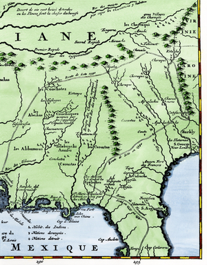
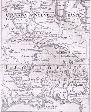
Map of the United States: Map of the Explorer Louis Hennepin (1626-1705) of the Mississippi...

Title

start

end

Buying Options
需要其他类型的许可证吗?

图像 数字

NWI4902208

图片标题

Map of the United States: Map of the Explorer Louis Hennepin (1626-1705) of the Mississippi and the Great Lakes (part of New France, 1697). Engraving. Explore Louis Henpin's map of the Mississippi, Gulf Coast, and Great Lakes, part of New France, 1697.

Auto-translated text View Original Source

中型

engraving

图片描述

Map of the United States: Map of the Explorer Louis Hennepin (1626-1705) of the Mississippi and the Great Lakes (part of New France, 1697). Engraving. Explore Louis Henpin's map of the Mississippi, Gulf Coast, and Great Lakes, part of New France, 1697.

Read More

图片来源

Photo © North Wind Pictures / Bridgeman Images

您需要帮助吗?

若通过我方团队下单(而非直接在线下单),会员级客户(年消费额低于1,000英镑)可能需支付150英镑服务费。

版权状态
无额外版权
最大可用格式 2869 × 3958 px 2 MB
尺寸 [像素] 300dpi分辨率下的尺寸 [毫米] 文件大小 [MB] 在线购买
大型 2869 × 3958 px 243 × 335 mm 2.2 MB
中型 743 × 1024 px 63 × 87 mm 1.2 MB

相似图片